DEPARTMENT OF CIVIL ENGINEERING
TECHNICAL SKILL
SURVEYING
Objective
To assess and record details about an area of land. These observations can then be used to help plan construction projects. The main purpose of surveying in civil engineering is to determine the three-dimensional relationships between different locations, a technical skill was conducted for higher semester students.
The aim of surveying is to prepare a map to show the relative positions of the objects on the surface of the earth. To collect field data. To prepare plan or map of the area surveyed. To analyse and calculate the field parameters for setting out operation of actual engineering works
The planning and design of all Civil Engineering projects such as construction of highways, bridges, tunnels, dams etc are based upon surveying measurements.
Skills were divided into three levels and each level was planned to conduct for 20 hours.
Level 1: Leveling for roads and buildings
Level 2: Setting out of curves using theodolite
Level 3: Modern Surveying
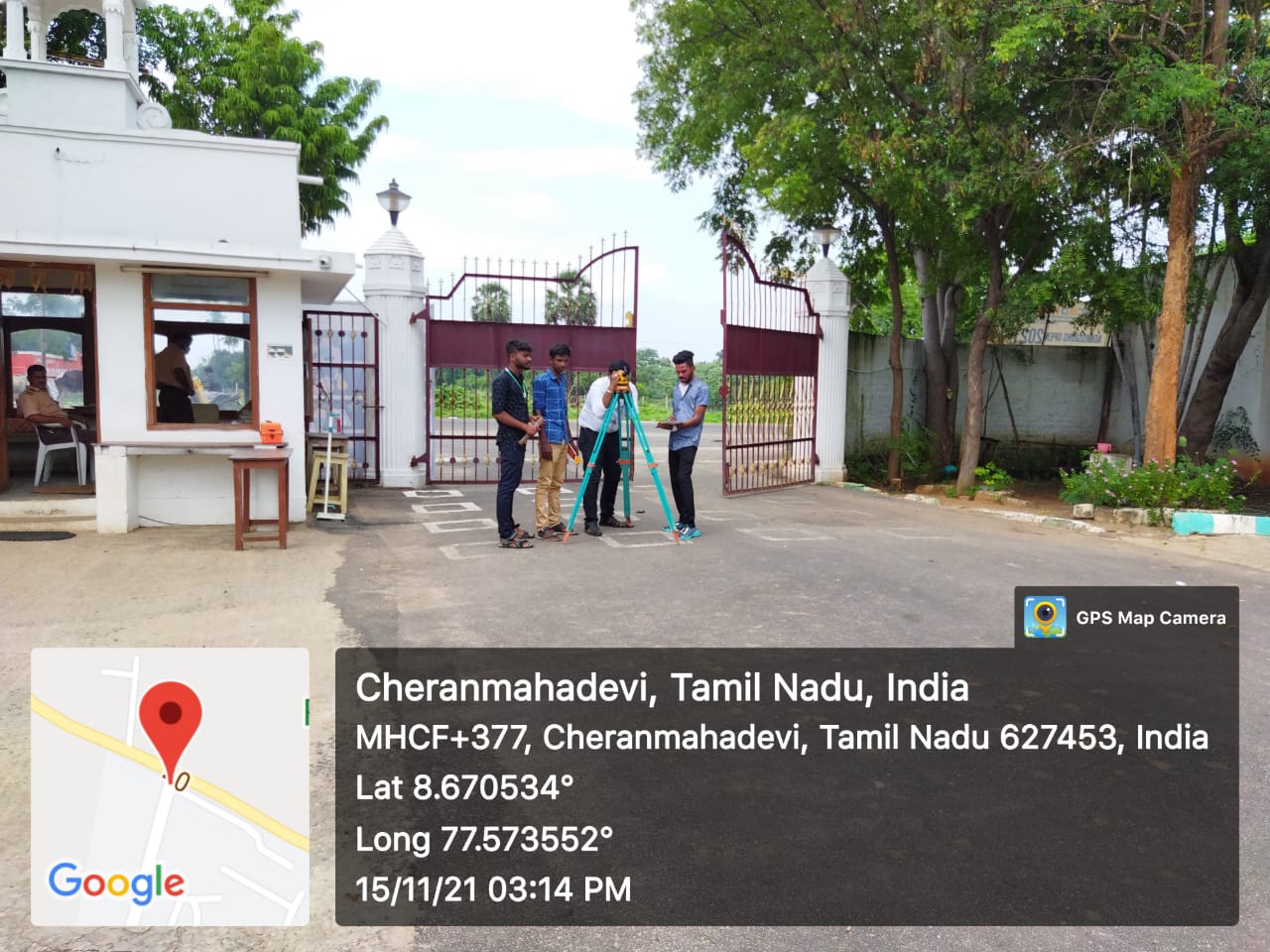
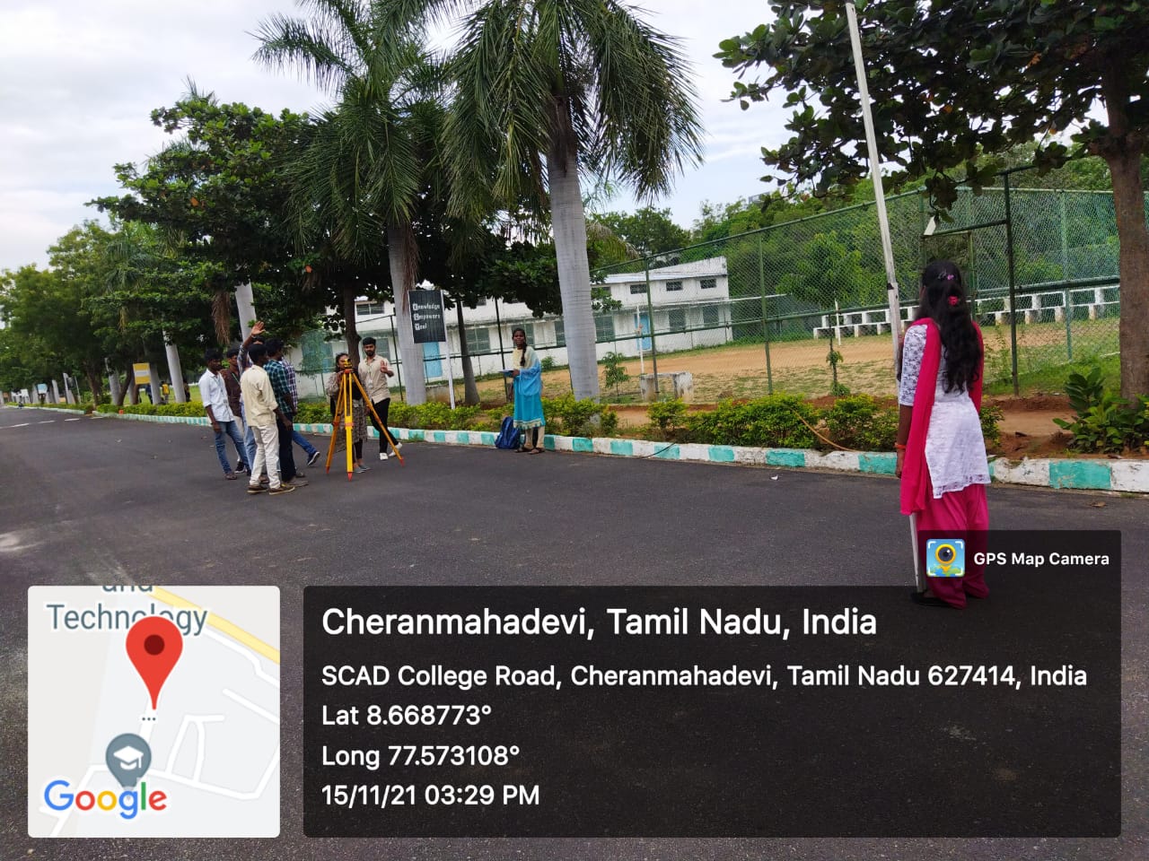
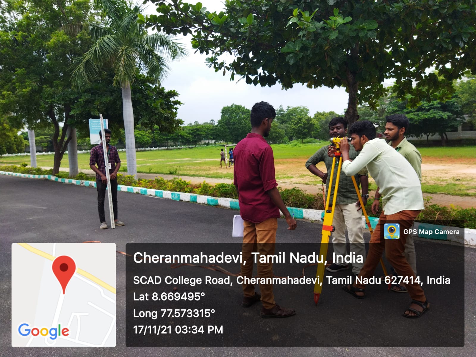
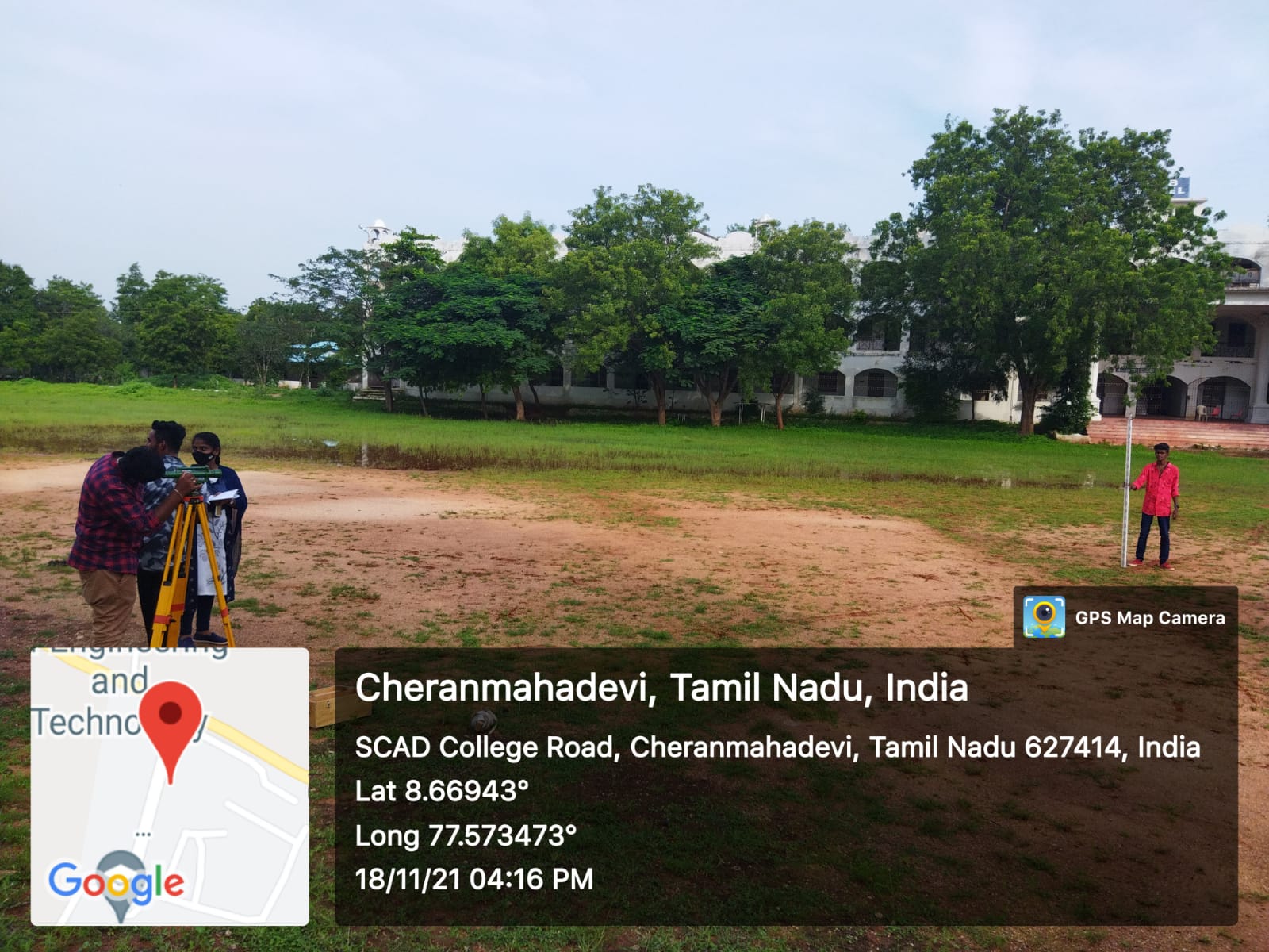
Various surveying exercises like Fly levelling, Check Levelling, cross sectional leveling and longitudinal leveling, contouring with leveling. Various instruments like ‘Dumpy level’ and ‘Theodolite’ were used for calculating area viz., irregular surface, undulated surface etc. During the skill, students learnt all the technical aspects required for Surveying and experienced the real-time experience with surveying instruments.The skill training was conducted for II year and III year Civil Engineering students.
